
A Mississippi Genealogy & History Collection
Hathorn is a small, rural community in the “Pine Belt” of southern Mississippi, located in Jefferson Davis County and shown on the Oak Vale USGS topo map. (It also sits close enough to the county line that older write-ups sometimes discuss it in the orbit of neighboring counties—pretty common for railroad communities that grew up along a track rather than inside a city limit.)
Before there was a “Hathorn,” the land around today’s Jefferson Davis County was part of the larger Choctaw homeland. After treaty-era removals in the 1830s, Euro-American settlement expanded into this region, with farms and small crossroads communities forming in the timber-rich uplands that fed a booming pine economy across South Mississippi.
Like many Pine Belt places, Hathorn’s identity is tightly tied to the railroad era. A WPA-era county history notes that a point on the Illinois Central Railroad was known as Hathorn, named for Hugh Hathorn, the landowner at that location.
Railroads didn’t just move people—they moved lumber, logs, and turpentine products, and they helped decide where stores, depots, and post offices clustered. A modern railroad-station reference page that compiles historical station and structure information includes Hathorn among the documented points along lines associated with the Illinois Central family of railroads.
Hathorn belonged to a landscape of company woods, tram lines, and sawmills that sprang up wherever pine could be cut and shipped. A Mississippi logging-railroad list includes Hathorn as a location for a lumber operation (Progress Lumber Co.) by about 1910, underscoring how closely the community’s early economy was tied to timber extraction and shipment.
In communities like Hathorn, daily life historically revolved around a handful of anchors—typically a general store, one or more churches, a school in the broader area, and nearby cemeteries that preserve family networks across generations. (If you’re doing genealogy work, the very fact that “Hathorn” is recognized as a named populated place and shows up on official mapping is useful when you’re trying to interpret “Hathorn” references in obits, family letters, or old addresses.)
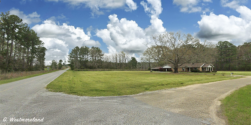
By the mid-20th century, many Pine Belt railroad-and-timber communities shrank as: nearby timber stands were cut out or operations consolidated, rail service changed (or depots closed), and highways pulled commerce toward larger towns. Hathorn remained a place-name and local neighborhood rather than an incorporated town—one of those Mississippi communities that’s “still there,” just quieter, like a porch swing after supper.
Hathorne is located at the intersection of Tolar Road and Hathorn Road in the very southwest corner of Jefferson Davis County. It is about 12 miles north-northwest of Columbia. GPS: 31.393333, -89.919167